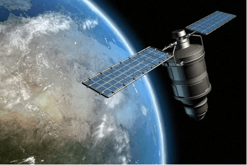
We use satellite image data of the areas where we have concession data and other supply chain related information – peat lands, forest reserves, mills – to detect if there is any deforestation taking place.
On a near-real time basis, the most recent images are compared to the previous versions. Any change in how land is used can be detected at an early stage. In 2018 and 2019, we actively monitored the entirety of Peninsular Malaysia and Sabah. We have continued expanding this area to the current 113.9 million hectares. The full area is monitored for land-use change, regardless of its relation to palm oil.
1. Mapping and monitoring
To map our palm supply base at concession level, we, alongside several of our key suppliers (processors and refiners) collaborate with EarthEqualizer. They also provide a supplier screening service at group level.
We have mapped our supply base up to 10 Million hectares in our in-house ArcGIS system, all monitored in our geographic information system (GIS).
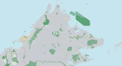
2. Attention to special areas
The added layers to the map are examples of areas that require special attention:
3. Pro-active on alerts
When the land use change detection takes place, we receive land use change alerts from Satelligence, and through our Google Earth Engine monitoring tool.
To determine if the land use change falls within concessions, peatlands or protected forests, we use spatial analysis tools in ArcGIS (a geographic information system). The land use change detections/alerts are automatically uploaded to ArcGIS to check if deforestation is occurring within our mapped supply base.
Our partner Satelligence specializes in providing highly detailed, semi-automated satellite-based insights and actionable results over large areas.They have world class expertise on scalable processing of radar and optical satellite images to assess patterns and trends in forests, agriculture and water. Visit the Satelligence website if you want to know more about their technology.
Connecting farmers to consumers to deliver essential food, feed and fuel to the world.
© 2026 Bunge.